Explore
Explore by landscape
Each landscape type below shapes local climate, water and wildlife in a different way.
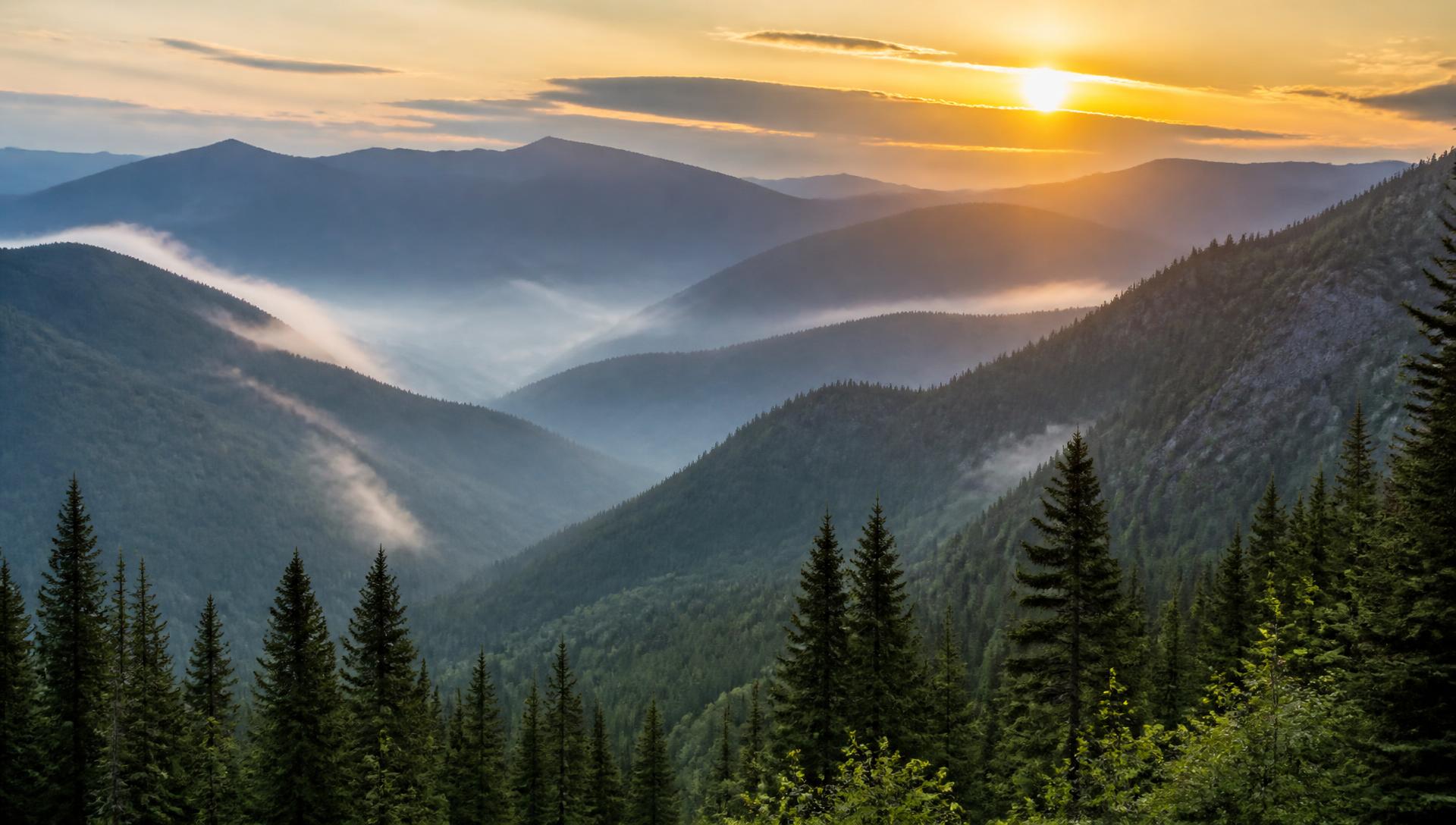
Mountains
Ranges such as the Appalachians, Rockies, Sierra Nevada and Cascades shape climate, rivers and habitat across the country.
- Mountain ranges create elevation gradients, so temperature and vegetation change noticeably as you climb.
- Snowpack stored at high elevations feeds rivers and reservoirs later in the year.
- Weather in mountain terrain can change quickly; check current forecasts and trail conditions with the land manager before setting out.
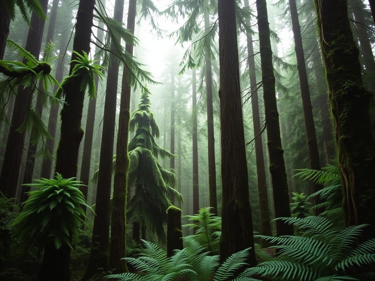
Forests
From eastern deciduous woodlands to Pacific Northwest temperate rainforests, forests cover a large share of the country.
- Eastern forests are dominated by broadleaf trees that lose their leaves each autumn, producing well-known fall color.
- Coastal forests in the Pacific Northwest receive abundant rainfall and support very tall, long-lived conifers.
- Forests provide habitat, store carbon, stabilise soil and influence local water cycles.
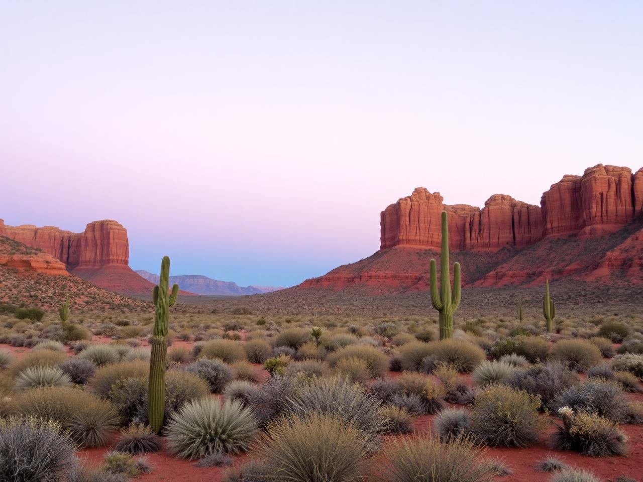
Deserts
The Mojave, Sonoran, Chihuahuan and Great Basin deserts each have distinct plants, temperatures and rainfall patterns.
- Desert plants reduce water loss through small or waxy leaves, deep roots and water-storing tissue.
- Many desert animals are active at night or around dawn and dusk, when temperatures are lower.
- Carry more water than you expect to need, and plan desert walks for cooler parts of the day.
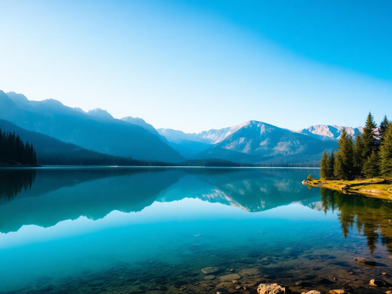
Lakes
Glacial lakes, the Great Lakes, crater lakes and reservoirs store freshwater and support distinct aquatic communities.
- The Great Lakes form one of the largest surface freshwater systems on Earth and moderate the climate of nearby regions.
- High-elevation lakes are often cold year-round and clear because they carry little sediment.
- Lake levels and water quality are monitored by state and federal agencies; consult them for current conditions.
Rivers
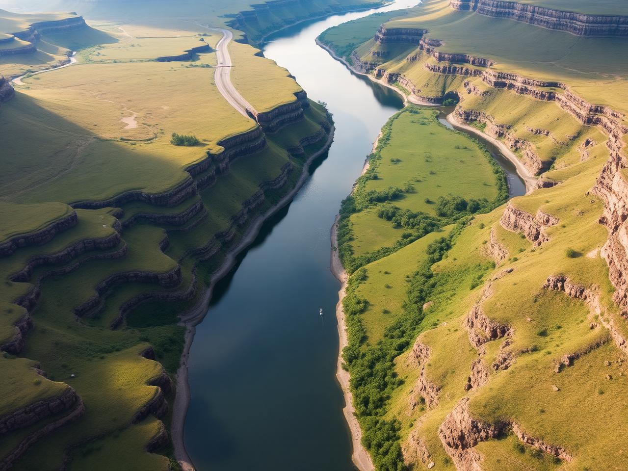
River systems such as the Mississippi, Missouri, Colorado and Columbia carve landscapes and connect ecosystems.
- Rivers transport sediment and nutrients, building floodplains and deltas over long periods.
- Canyon country in the Southwest shows how flowing water and time can cut through layered rock.
- River flows vary with snowmelt, rainfall and water management; check current conditions before any water activity.
Coastlines
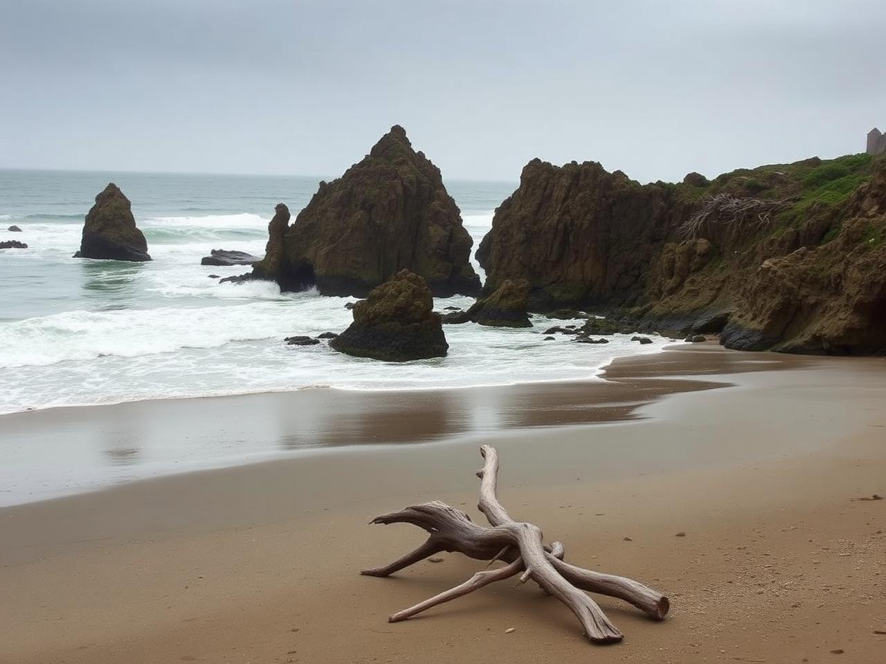
Atlantic barrier islands, Gulf shores, rugged Pacific headlands and Arctic coasts each form under different conditions.
- Barrier islands and dunes absorb wave energy and shift naturally over time.
- Tide pools along rocky shores host sea stars, anemones and other intertidal species; look without touching.
- Always check tide tables and local advisories before walking on beaches or rock platforms.
Grasslands
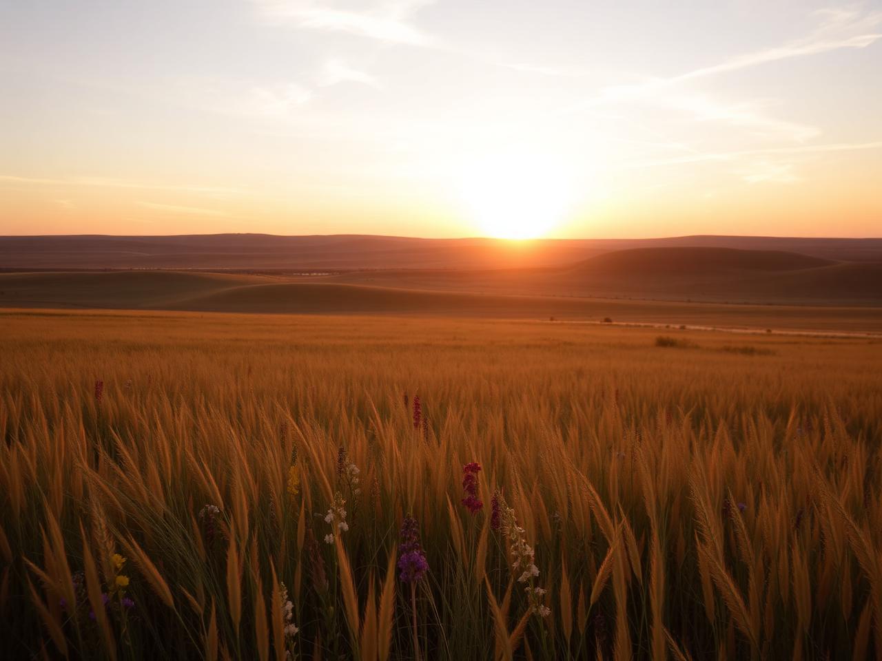
Tallgrass, mixed-grass and shortgrass prairies stretch across the interior of the continent.
- Prairie plants put much of their growth below ground, creating deep root systems and rich soils.
- Grasslands historically shifted with grazing and periodic fire, which many preserves still manage for today.
- Remaining tallgrass prairie is limited, and several protected areas conserve representative examples.
Wetlands
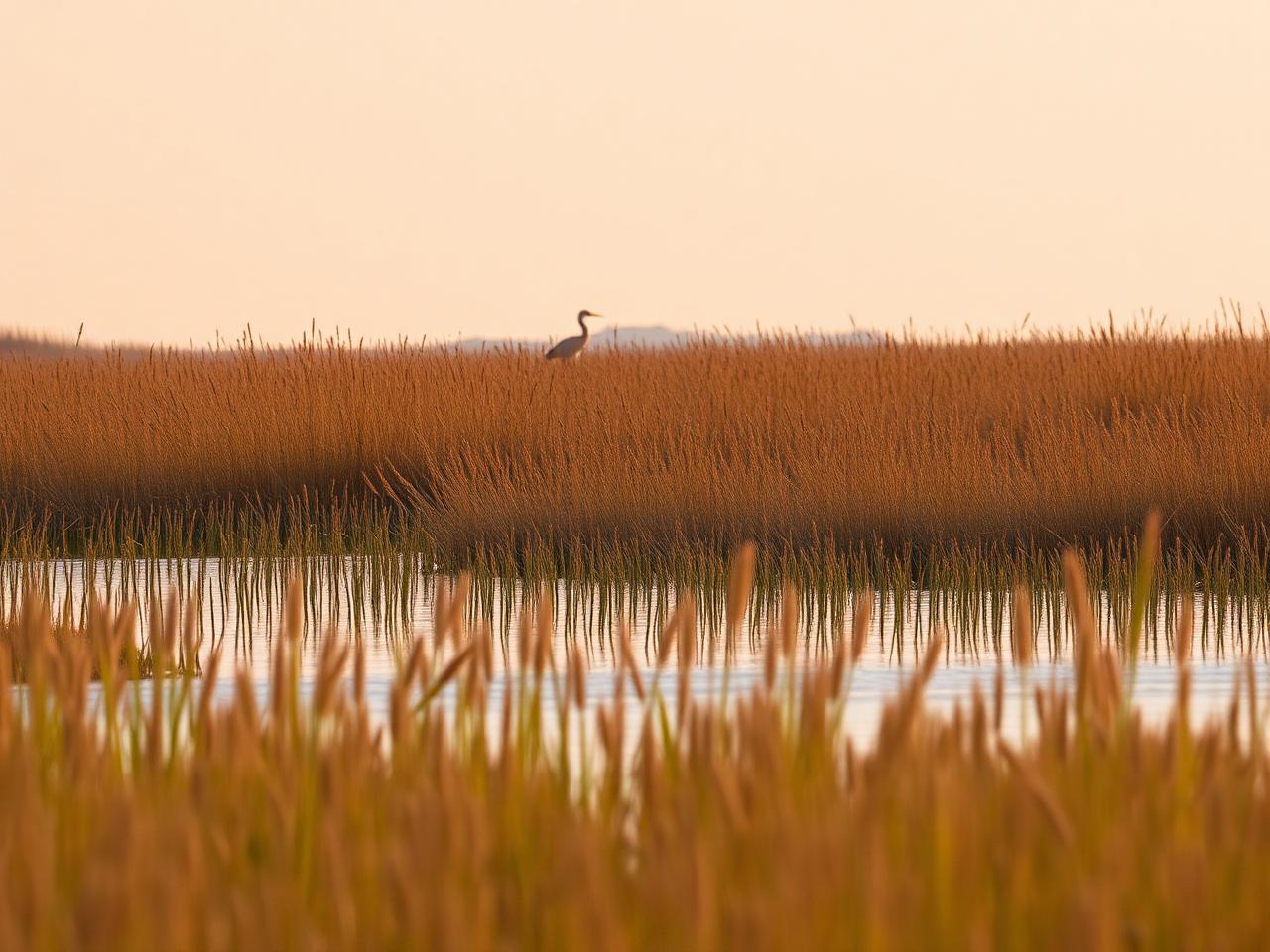
Marshes, swamps, bogs and estuaries sit between land and water and support exceptional biological diversity.
- Wetlands filter water, slow floodwaters and provide nursery habitat for fish and shellfish.
- Coastal estuaries and inland marshes are key stopovers for migratory birds.
- Boardwalks and designated trails protect fragile wetland soils and vegetation — stay on them.